
Car park and lowest viewpoint topographic map
Interactive map
Click on the map to display elevation.
About this map
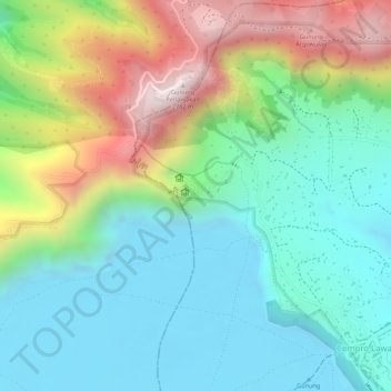
Name: Car park and lowest viewpoint topographic map, elevation, terrain.
Average elevation: 7,651 ft
Minimum elevation: 6,962 ft
Maximum elevation: 9,019 ft