
Sungai Kelar topographic map
Interactive map
Click on the map to display elevation.
About this map
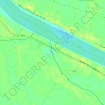
Name: Sungai Kelar topographic map, elevation, terrain.
Location: Sungai Kelar, Pasir Mas, Kelantan, 17000, Malaysia (6.01232 102.15876 6.02270 102.16203)
Average elevation: 39 ft
Minimum elevation: 3 ft
Maximum elevation: 69 ft