
库局乡 topographic map
Interactive map
Click on the map to display elevation.
About this map
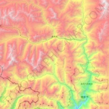
Name: 库局乡 topographic map, elevation, terrain.
Location: 库局乡, མཚོ་སྣ་རྫོང་ 错那县, 山南市, Tibet, Chine (27.89234 91.39785 28.13709 91.80236)
Average elevation: 15,640 ft
Minimum elevation: 8,589 ft
Maximum elevation: 20,988 ft