
Ouaguenoun topographic map
Interactive map
Click on the map to display elevation.
About this map
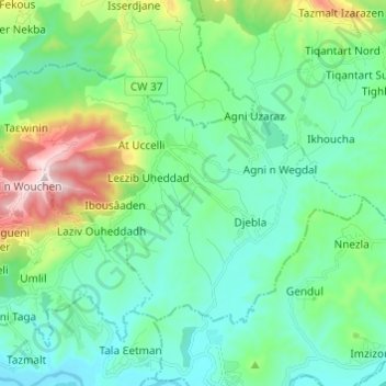
Name: Ouaguenoun topographic map, elevation, terrain.
Location: Ouaguenoun, Ouaguenoun District, Tizi Ouzou, Algeria (36.72601 4.11639 36.79178 4.23775)
Average elevation: 771 ft
Minimum elevation: 223 ft
Maximum elevation: 2,589 ft