
Capirenda topographic map
Interactive map
Click on the map to display elevation.
About this map
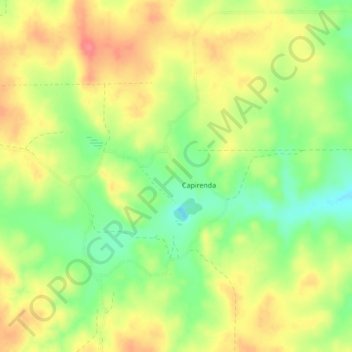
Name: Capirenda topographic map, elevation, terrain.
Location: Capirenda, Gran Chaco, Tarija, Bolivia (-21.11518 -63.03463 -21.07518 -62.99463)
Average elevation: 1,824 ft
Minimum elevation: 1,706 ft
Maximum elevation: 1,929 ft