Geolocate

Silao topographic map

Click on the map to display elevation.

About this map

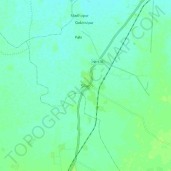
Name: Silao topographic map, elevation, terrain.

Location: Silao, Nalanda, Bihar, India (25.04090 85.38783 25.12090 85.46783)

Average elevation: 203 ft

Minimum elevation: 187 ft

Maximum elevation: 220 ft

Other topographic maps

Click on a map to view its topography, its elevation and its terrain.

Nalanda

India > Bihar > Silao > Kapatia

Average elevation: 194 ft

Gear up for your next adventure:

🧣Merino Neck Gaiters - Multi-functional headwear for wind and sun protection
🌄Hiking Binoculars - Compact binoculars for scenic views and trail spotting
🔭Compact Binoculars - HD vision for scouting terrain and identifying distant landmarks
📚USA Hiking Guide Books - Top trail guides and map books
🧤Hiking Gloves - Protective gloves for rugged trails

As an Amazon Associate, this site earns from qualifying purchases at no extra cost to you.