
Gambassi topographic map
Interactive map
Click on the map to display elevation.
About this map
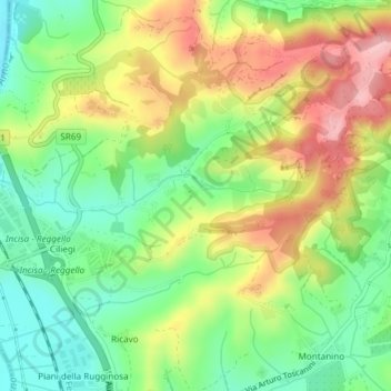
Name: Gambassi topographic map, elevation, terrain.
Location: Gambassi, Reggello, Firenze, Toscane, 50066, Italie (43.65921 11.46357 43.67921 11.48357)
Average elevation: 574 ft
Minimum elevation: 344 ft
Maximum elevation: 873 ft
Other topographic maps
Click on a map to view its topography, its elevation and its terrain.