
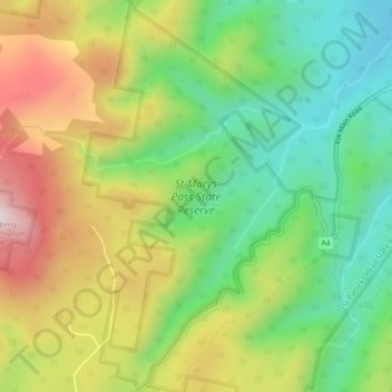
St Marys Pass State Reserve topographic map
Interactive map
Click on the map to display elevation.
About this map
Name: St Marys Pass State Reserve topographic map, elevation, terrain.
Average elevation: 951 ft
Minimum elevation: 177 ft
Maximum elevation: 2,021 ft