
Tönisvorst topographic map
Interactive map
Click on the map to display elevation.
About this map
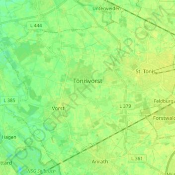
Name: Tönisvorst topographic map, elevation, terrain.
Location: Tönisvorst, Kreis Viersen, Noordrijn-Westfalen, 47918, Duitsland (51.27754 6.38713 51.34930 6.51569)
Average elevation: 125 ft
Minimum elevation: 98 ft
Maximum elevation: 138 ft