
Mulegé topographic map
Interactive map
Click on the map to display elevation.
About this map
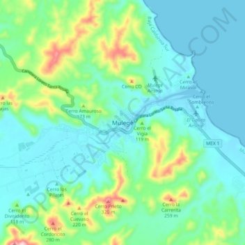
Name: Mulegé topographic map, elevation, terrain.
Location: Mulegé, Municipio de Mulegé, Baja California Sur, México (26.85133 -112.02264 26.93133 -111.94264)
Average elevation: 272 ft
Minimum elevation: -7 ft
Maximum elevation: 1,230 ft