
Château de Mauvezin topographic map
Interactive map
Click on the map to display elevation.
About this map
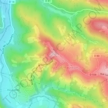
Name: Château de Mauvezin topographic map, elevation, terrain.
Average elevation: 1,325 ft
Minimum elevation: 965 ft
Maximum elevation: 1,775 ft
Other topographic maps
Click on a map to view its topography, its elevation and its terrain.
Mauvezin
Frankrijk > Occitanië > Hautes-Pyrénées > Mauvezin
Mauvezin, Bagnères-de-Bigorre, Hautes-Pyrénées, Occitanië, Metropolitaans Frankrijk, 65130, Frankrijk
Average elevation: 1,417 ft