
Carles topographic map
Interactive map
Click on the map to display elevation.
About this map
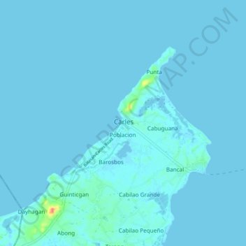
Name: Carles topographic map, elevation, terrain.
Location: Carles, Iloilo, Western Visayas, 5019, Philippines (11.53316 123.09342 11.61316 123.17342)
Average elevation: 7 ft
Minimum elevation: -3 ft
Maximum elevation: 177 ft
Other topographic maps
Click on a map to view its topography, its elevation and its terrain.
Balbagon Island
Philippines > Iloilo > Carles
Balbagon Island, Carles, Iloilo, Western Visayas, Philippines
Average elevation: 0 ft