
Salzbergen topographic map
Interactive map
Click on the map to display elevation.
About this map
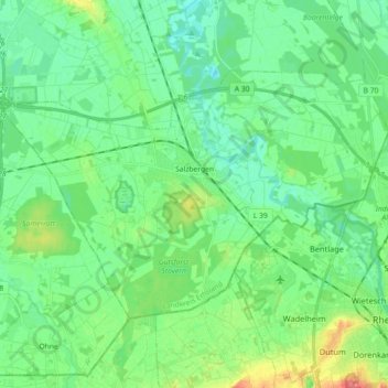
Name: Salzbergen topographic map, elevation, terrain.
Location: Salzbergen, Landkreis Emsland, Nedersaksen, 48499, Duitsland (52.28022 7.25765 52.35077 7.43772)
Average elevation: 128 ft
Minimum elevation: 72 ft
Maximum elevation: 272 ft