
Ghaziabad topographic map
Interactive map
Click on the map to display elevation.
About this map
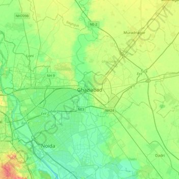
Name: Ghaziabad topographic map, elevation, terrain.
Location: Ghaziabad, Uttar Pradesh, 201001, India (28.51115 77.25204 28.83115 77.57204)
Average elevation: 692 ft
Minimum elevation: 630 ft
Maximum elevation: 830 ft