
Ku Me topographic map
Interactive map
Click on the map to display elevation.
About this map
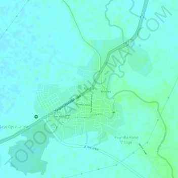
Name: Ku Me topographic map, elevation, terrain.
Location: Ku Me, ကျောက်ဆည်ခရိုင်, Región del Mandalay, Myanmar (21.35286 96.15346 21.36921 96.17299)
Average elevation: 331 ft
Minimum elevation: 318 ft
Maximum elevation: 348 ft