
Cerezo topographic map
Interactive map
Click on the map to display elevation.
About this map
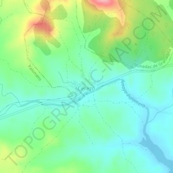
Name: Cerezo topographic map, elevation, terrain.
Location: Cerezo, Cáceres, Extremadura, España (40.23384 -6.23057 40.24014 -6.22417)
Average elevation: 1,381 ft
Minimum elevation: 1,250 ft
Maximum elevation: 1,686 ft