
Atlixco topographic map
Click on the map to display elevation.
Atlixco
The city of Atlixco is in the west of the state of Puebla at an elevation of 1,881 meters above sea level, 25 km from the state capital of Puebla. The main economic activities of the city are agriculture and basic commerce. It lies at the foot of the Cerro de San Miguel mountain, which is the main geographical and cultural landmark, marked by a small hermitage at the top dedicated to the Archangel Michael. According to local lore, a demon was entrapped in the well there, after causing problems in the community. There are also lookout points that provide panoramic views of the city.
About this map
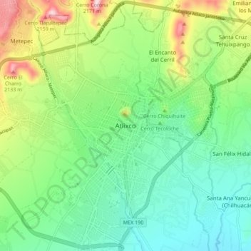
Name: Atlixco topographic map, elevation, terrain.
Location: Atlixco, Puebla, 74260, Mexico (18.86889 -98.47778 18.94889 -98.39778)
Average elevation: 6,145 ft
Minimum elevation: 5,709 ft
Maximum elevation: 7,113 ft