
Magsingal topographic map
Interactive map
Click on the map to display elevation.
About this map
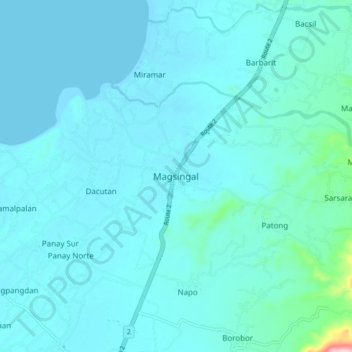
Name: Magsingal topographic map, elevation, terrain.
Location: Magsingal, Ilocos Sur, Región de Ilocos, 2730, Filipinas (17.64519 120.38573 17.72519 120.46573)
Average elevation: 59 ft
Minimum elevation: 0 ft
Maximum elevation: 702 ft