
Shirur topographic map
Interactive map
Click on the map to display elevation.
About this map
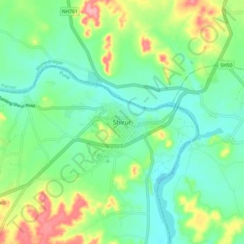
Name: Shirur topographic map, elevation, terrain.
Location: Shirur, Pune, Maharashtra, 413249, India (18.78659 74.33253 18.86659 74.41253)
Average elevation: 1,886 ft
Minimum elevation: 1,781 ft
Maximum elevation: 2,116 ft