
Tiruvuru topographic map
Interactive map
Click on the map to display elevation.
About this map
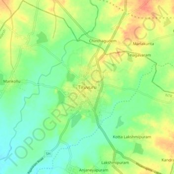
Name: Tiruvuru topographic map, elevation, terrain.
Location: Tiruvuru, NTR District, Andhra Pradesh, 521235, India (17.07330 80.57074 17.15330 80.65074)
Average elevation: 318 ft
Minimum elevation: 259 ft
Maximum elevation: 394 ft
Other topographic maps
Click on a map to view its topography, its elevation and its terrain.
Venkateshwara Nagar
India > Andhra Pradesh > Tiruvuru > Venkateshwara Nagar
Venkateshwara Nagar, Tiruvuru, NTR, Andhra Pradesh, 521235, India
Average elevation: 315 ft