
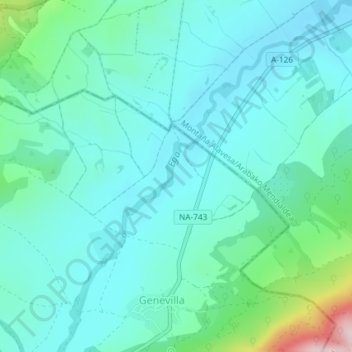
Ega ibaia;Río Ega topographic map
Interactive map
Click on the map to display elevation.
About this map
Name: Ega ibaia;Río Ega topographic map, elevation, terrain.
Location: Ega ibaia;Río Ega, Genevilla, Navarra, 1110, Espanha (42.64293 -2.39960 42.66629 -2.37325)
Average elevation: 2,064 ft
Minimum elevation: 1,847 ft
Maximum elevation: 3,031 ft