
Larum topographic map
Interactive map
Click on the map to display elevation.
About this map
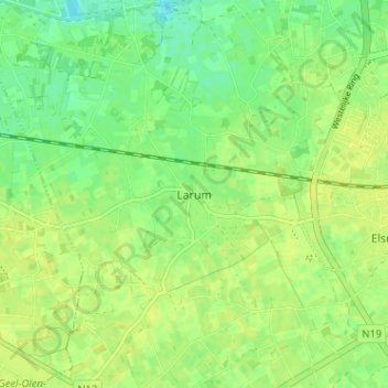
Name: Larum topographic map, elevation, terrain.
Location: Larum, Geel, Turnhout, Antwerpen, 2440, België (51.14688 4.92509 51.18688 4.96509)
Average elevation: 66 ft
Minimum elevation: 33 ft
Maximum elevation: 82 ft