
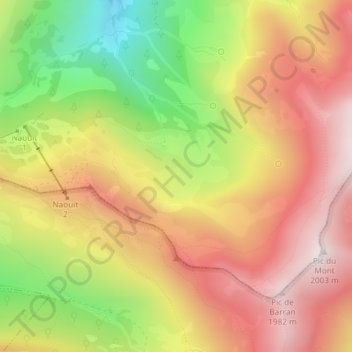
Naouit topographic map
Interactive map
Click on the map to display elevation.
About this map
Name: Naouit topographic map, elevation, terrain.
Average elevation: 5,308 ft
Minimum elevation: 3,734 ft
Maximum elevation: 6,552 ft
Other topographic maps
Click on a map to view its topography, its elevation and its terrain.
La Courade
France > Occitanie > Hautes-Pyrénées > Gazost
La Courade, Gazost, Argelès-Gazost, Hautes-Pyrénées, Occitanie, France métropolitaine, 65100, France
Average elevation: 5,325 ft