
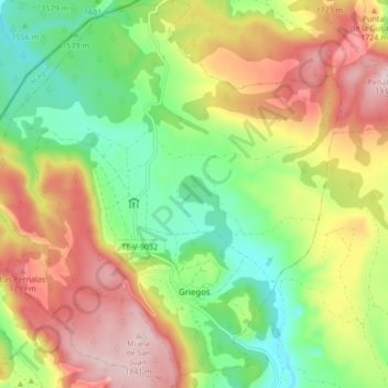
Griegos topographic map
Interactive map
Click on the map to display elevation.
About this map
Name: Griegos topographic map, elevation, terrain.
Location: Griegos, Teruel, Aragón, España (40.41035 -1.76239 40.47546 -1.67924)
Average elevation: 5,427 ft
Minimum elevation: 4,918 ft
Maximum elevation: 6,053 ft