
Colonia Guerrero topographic map
Interactive map
Click on the map to display elevation.
About this map
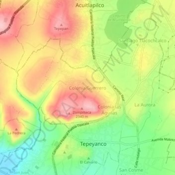
Name: Colonia Guerrero topographic map, elevation, terrain.
Location: Colonia Guerrero, Tepeyanco, Tlaxcala, 90110, México (19.23778 -98.25639 19.27778 -98.21639)
Average elevation: 7,487 ft
Minimum elevation: 7,211 ft
Maximum elevation: 7,753 ft
Other topographic maps
Click on a map to view its topography, its elevation and its terrain.