
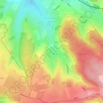
Fouron-Saint-Pierre topographic map
Interactive map
Click on the map to display elevation.
About this map
Name: Fouron-Saint-Pierre topographic map, elevation, terrain.
Location: Fouron-Saint-Pierre, Fourons, Tongres, Limbourg, 3792, Belgique (50.71368 5.81190 50.74352 5.84823)
Average elevation: 702 ft
Minimum elevation: 449 ft
Maximum elevation: 915 ft