
Talkori topographic map
Interactive map
Click on the map to display elevation.
About this map
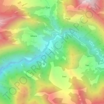
Name: Talkori topographic map, elevation, terrain.
Location: Talkori, Kapkot, Bageshwar, India (30.07038 79.82904 30.11038 79.86904)
Average elevation: 7,211 ft
Minimum elevation: 5,423 ft
Maximum elevation: 9,580 ft