
28 Ilir topographic map
Interactive map
Click on the map to display elevation.
About this map
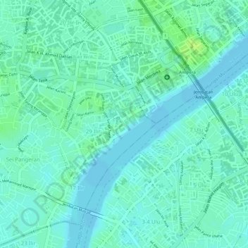
Name: 28 Ilir topographic map, elevation, terrain.
Location: 28 Ilir, South Sumatra, Indonesia (-2.99736 104.75336 -2.99321 104.75735)
Average elevation: 23 ft
Minimum elevation: 7 ft
Maximum elevation: 52 ft