
Palau Tekong Camp topographic map
Interactive map
Click on the map to display elevation.
About this map
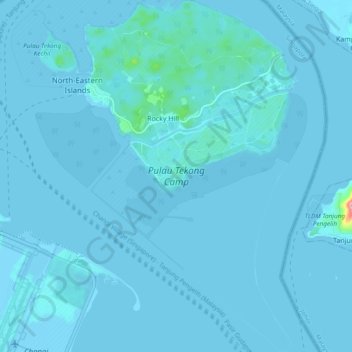
Name: Palau Tekong Camp topographic map, elevation, terrain.
Location: Palau Tekong Camp, Kampong Ladang, Southeast, Singapore (1.33751 104.01539 1.43199 104.08851)
Average elevation: 16 ft
Minimum elevation: -10 ft
Maximum elevation: 531 ft