
Ouled Allal topographic map
Interactive map
Click on the map to display elevation.
About this map
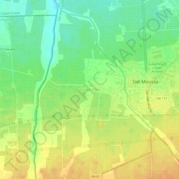
Name: Ouled Allal topographic map, elevation, terrain.
Location: Ouled Allal, Sidi Moussa, Daïra Baraki, Alger, Algérie (36.58448 3.05265 36.62448 3.09265)
Average elevation: 154 ft
Minimum elevation: 95 ft
Maximum elevation: 207 ft