
Presa de Barbate topographic map
Interactive map
Click on the map to display elevation.
About this map
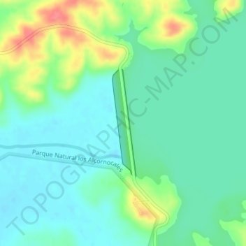
Name: Presa de Barbate topographic map, elevation, terrain.
Average elevation: 112 ft
Minimum elevation: 46 ft
Maximum elevation: 276 ft
Other topographic maps
Click on a map to view its topography, its elevation and its terrain.
Parque Natural los Alcornocales
España > Andalucía > Algeciras > Alcalá de los Gazules
Parque Natural los Alcornocales, Autovía del Mediterráneo, El Rinconcillo, Algeciras, Campo de Gibraltar, Cádiz, Andalucía, 11205, España
Average elevation: 666 ft
Peña Arpada
España > Andalucía > Alcalá de los Gazules
Peña Arpada, Alcalá de los Gazules, La Janda, Cádiz, Andalucía, España
Average elevation: 325 ft