
Latrobe topographic map
Interactive map
Click on the map to display elevation.
About this map
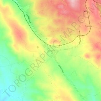
Name: Latrobe topographic map, elevation, terrain.
Location: Latrobe, California, United States of America (38.53963 -121.00383 38.57963 -120.96383)
Average elevation: 810 ft
Minimum elevation: 459 ft
Maximum elevation: 1,158 ft