
水湳洞 topographic map
Interactive map
Click on the map to display elevation.
About this map
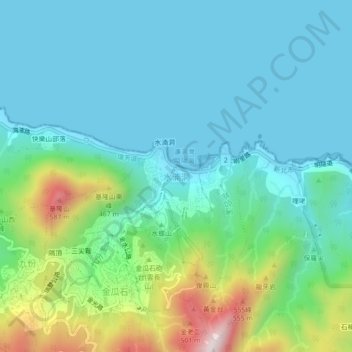
Name: 水湳洞 topographic map, elevation, terrain.
Location: 水湳洞, New Taipei, 22448, Taiwan (25.10145 121.84380 25.14145 121.88380)
Average elevation: 486 ft
Minimum elevation: 0 ft
Maximum elevation: 2,188 ft