
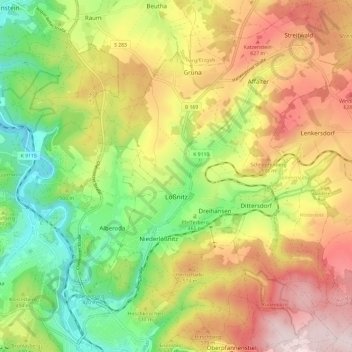
Lößnitz topographic map
Interactive map
Click on the map to display elevation.
About this map
Name: Lößnitz topographic map, elevation, terrain.
Location: Lößnitz, Erzgebirgskreis, Saxony, 08294, Germany (50.58757 12.69830 50.66342 12.79371)
Average elevation: 1,647 ft
Minimum elevation: 1,040 ft
Maximum elevation: 2,329 ft