
Soutomaior topographic map
Interactive map
Click on the map to display elevation.
About this map
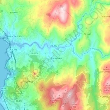
Name: Soutomaior topographic map, elevation, terrain.
Location: Soutomaior, Vigo, Pontevedra, Galicia, España (42.30694 -8.61610 42.37034 -8.52128)
Average elevation: 564 ft
Minimum elevation: -3 ft
Maximum elevation: 1,545 ft