Geolocate

Leesville topographic map

Click on the map to display elevation.

Leesville

Leesville is located at 31°8′37″N 93°16′16″W / 31.14361°N 93.27111°W / 31.14361; -93.27111 (31.143553, -93.271196) and has an elevation of 254 feet (77.4 m).

Wikipedia (CC-BY-SA 3.0)

About this map

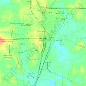
Name: Leesville topographic map, elevation, terrain.

Location: Leesville, Vernon Parish, Louisiana, 71496, United States (31.11649 -93.30353 31.16447 -93.25165)

Average elevation: 253 ft

Minimum elevation: 187 ft

Maximum elevation: 354 ft

Vernon Parish trails, hiking, mountain biking, running and outdoor activities

Other topographic maps

Click on a map to view its topography, its elevation and its terrain.

Pitkin

United States > Louisiana > Vernon Parish

Average elevation: 154 ft

Pickering

United States > Louisiana > Vernon Parish

Average elevation: 249 ft

Gear up for your next adventure:

🛌Ultralight Sleeping Bags - Compact down bags for cold nights in the wilderness
🪑Ultralight Camp Chairs - Portable seating for resting after a long day of mapping
🔥Camping Stove - Portable stove for camping and backcountry cooking
🩹Survival Bandages - High‑quality bandages for emergencies
🥩Freeze-Dried Meals - Nutritious and lightweight food for remote expeditions

As an Amazon Associate, this site earns from qualifying purchases at no extra cost to you.