
Albert Beach topographic map
Interactive map
Click on the map to display elevation.
About this map
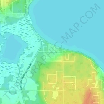
Name: Albert Beach topographic map, elevation, terrain.
Location: Albert Beach, Alexander, Manitoba, R0E 2C0, Canada (50.66033 -96.53365 50.70033 -96.49365)
Average elevation: 732 ft
Minimum elevation: 702 ft
Maximum elevation: 817 ft