
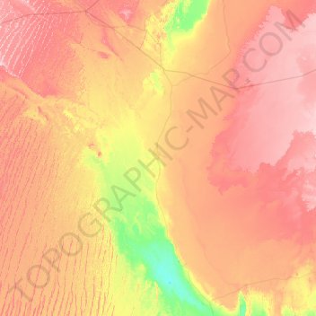
Ouled Ahmed Tammi topographic map
Interactive map
Click on the map to display elevation.
About this map
Name: Ouled Ahmed Tammi topographic map, elevation, terrain.
Location: Ouled Ahmed Tammi, Daïra d'Adrar, Adrar, Algérie (27.69953 -2.92122 27.98750 -0.14889)
Average elevation: 974 ft
Minimum elevation: 486 ft
Maximum elevation: 1,621 ft