Lac de la Joux topographic map
Interactive map
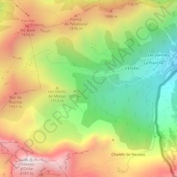
Click on the map to display elevation.
About this map
Name: Lac de la Joux topographic map, elevation, terrain.
Average elevation: 5,331 ft
Minimum elevation: 3,671 ft
Maximum elevation: 7,142 ft

Click on the map to display elevation.
Name: Lac de la Joux topographic map, elevation, terrain.
Average elevation: 5,331 ft
Minimum elevation: 3,671 ft
Maximum elevation: 7,142 ft