
Uleytokpo topographic map
Interactive map
Click on the map to display elevation.
About this map
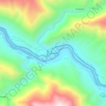
Name: Uleytokpo topographic map, elevation, terrain.
Location: Uleytokpo, Khaltsi, Leh district, Ladakh, India (34.23349 77.07262 34.27349 77.11262)
Average elevation: 11,027 ft
Minimum elevation: 9,908 ft
Maximum elevation: 13,366 ft