
Mazotos topographic map
Interactive map
Click on the map to display elevation.
About this map
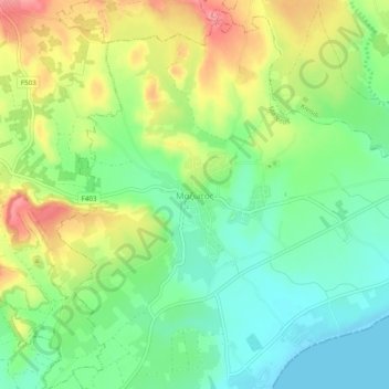
Name: Mazotos topographic map, elevation, terrain.
Location: Mazotos, Larnaca District, South Cyprus, 7577, Cyprus (34.78406 33.46842 34.82406 33.50842)
Average elevation: 121 ft
Minimum elevation: 0 ft
Maximum elevation: 295 ft