
Vedum topographic map
Interactive map
Click on the map to display elevation.
About this map
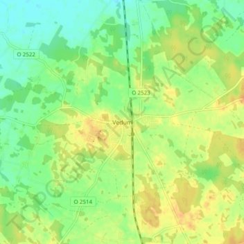
Name: Vedum topographic map, elevation, terrain.
Location: Vedum, Vara kommun, Västra Götaland County, 530 10, Sweden (58.15104 12.97557 58.19104 13.01557)
Average elevation: 341 ft
Minimum elevation: 295 ft
Maximum elevation: 387 ft