
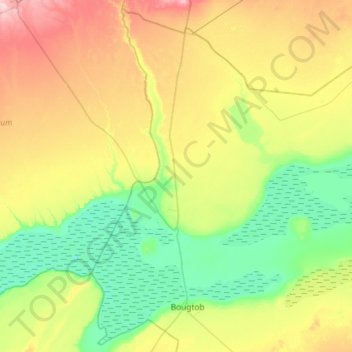
El Kheiter topographic map
Interactive map
Click on the map to display elevation.
About this map
Name: El Kheiter topographic map, elevation, terrain.
Location: El Kheiter, daïra Bougtob, El Bayadh, Algérie (33.98848 -0.07148 34.44817 0.50837)
Average elevation: 3,392 ft
Minimum elevation: 3,192 ft
Maximum elevation: 3,783 ft