
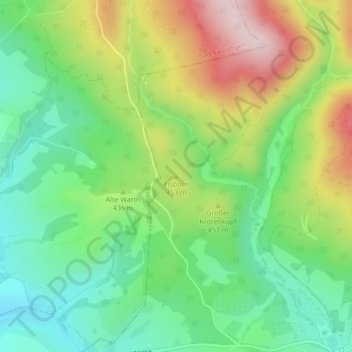
Eisborn topographic map
Interactive map
Click on the map to display elevation.
About this map
Name: Eisborn topographic map, elevation, terrain.
Average elevation: 1,365 ft
Minimum elevation: 928 ft
Maximum elevation: 2,077 ft
Other topographic maps
Click on a map to view its topography, its elevation and its terrain.
Weißer Stein
Deutschland > Thüringen > Wartburgkreis > Bad Liebenstein
Weißer Stein, Bad Liebenstein, Wartburgkreis, Thüringen, 36448, Deutschland
Average elevation: 1,814 ft