
Kuripan topographic map
Interactive map
Click on the map to display elevation.
About this map
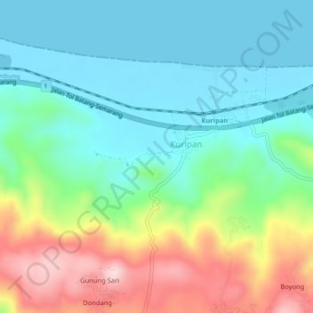
Name: Kuripan topographic map, elevation, terrain.
Location: Kuripan, Batang, Central Java, Indonesia (-6.94939 109.86692 -6.90939 109.90692)
Average elevation: 318 ft
Minimum elevation: 0 ft
Maximum elevation: 1,020 ft