
后滩村 topographic map
Interactive map
Click on the map to display elevation.
About this map
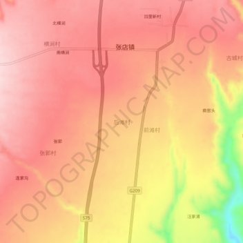
Name: 后滩村 topographic map, elevation, terrain.
Location: 后滩村, 平陆县, 运城市, 山西省, 中国 (34.94407 111.16801 34.98407 111.20801)
Average elevation: 2,428 ft
Minimum elevation: 1,827 ft
Maximum elevation: 2,667 ft