
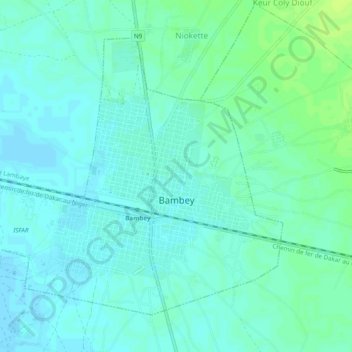
Bambey topographic map
Interactive map
Click on the map to display elevation.
About this map
Name: Bambey topographic map, elevation, terrain.
Location: Bambey, Département de Bambey, Diourbel, Senegal (14.68028 -16.48285 14.71694 -16.43472)
Average elevation: 72 ft
Minimum elevation: 56 ft
Maximum elevation: 98 ft