
Akaoudj topographic map
Interactive map
Click on the map to display elevation.
About this map
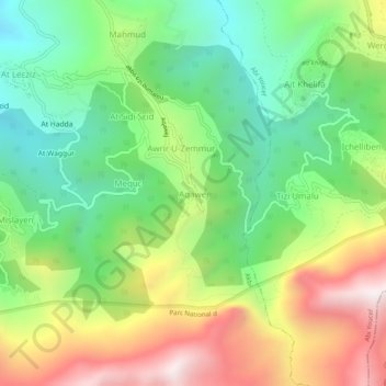
Name: Akaoudj topographic map, elevation, terrain.
Location: Akaoudj, Akbil, Daïra Aïn El Hammam, Tizi Ouzou, 15260, Algérie (36.49045 4.30560 36.53045 4.34560)
Average elevation: 3,383 ft
Minimum elevation: 1,932 ft
Maximum elevation: 5,574 ft