
Krška vas topographic map
Interactive map
Click on the map to display elevation.
About this map
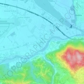
Name: Krška vas topographic map, elevation, terrain.
Location: Krška vas, Brežice, 8250, Slovenia (45.87112 15.54812 45.91112 15.58812)
Average elevation: 594 ft
Minimum elevation: 453 ft
Maximum elevation: 1,273 ft