
Inírida topographic map
Interactive map
Click on the map to display elevation.
About this map
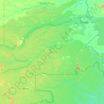
Name: Inírida topographic map, elevation, terrain.
Location: Inírida, Guainía, RAP Amazonía, 940001, Colombia (2.35998 -69.42555 4.05096 -67.53806)
Average elevation: 361 ft
Minimum elevation: 243 ft
Maximum elevation: 1,742 ft